Keeping the Past for the Future
Urban PreservationistsUsing the Upper West Side as our case study, this program explores the development of NYC and the UWS through World War II, specifically considering push-pull factors like gentrification, urban renewal, and more. What evidence of this do we find today?
Using our neighborhood, let’s explore the ideas behind historic preservation and the impacts it has on our neighborhood and communities today, including how we, as citizens, can shape our environment.
-
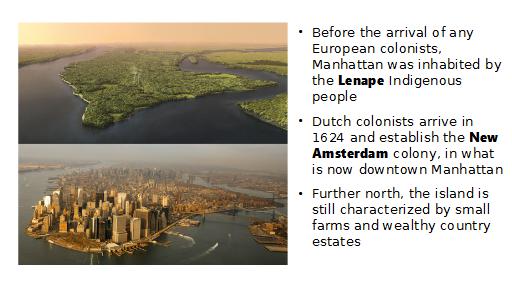
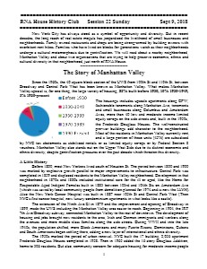
1624 — Mannahatta Becomes Manhattan
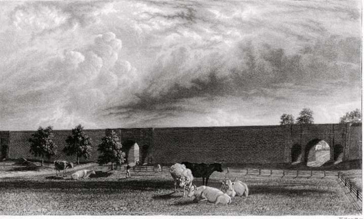
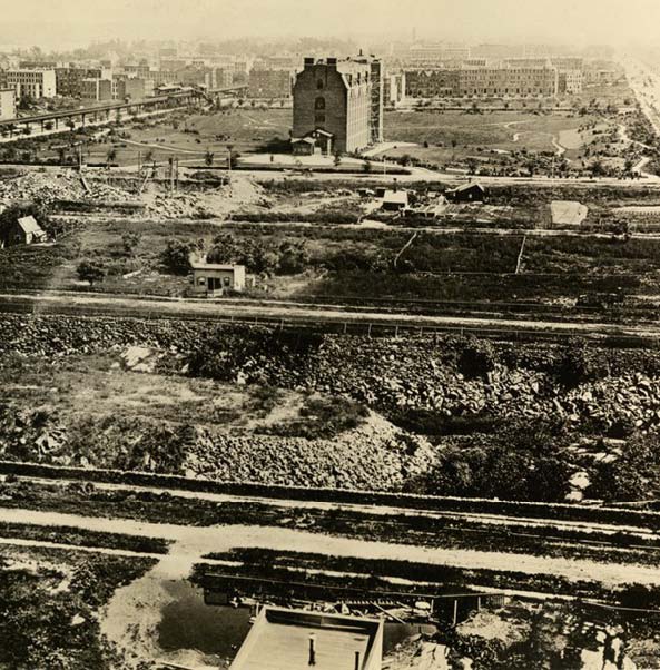
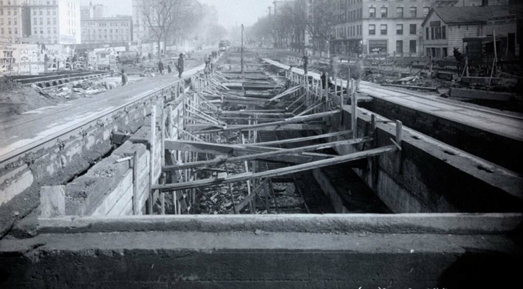
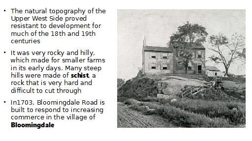
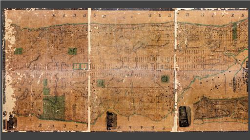
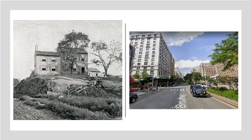
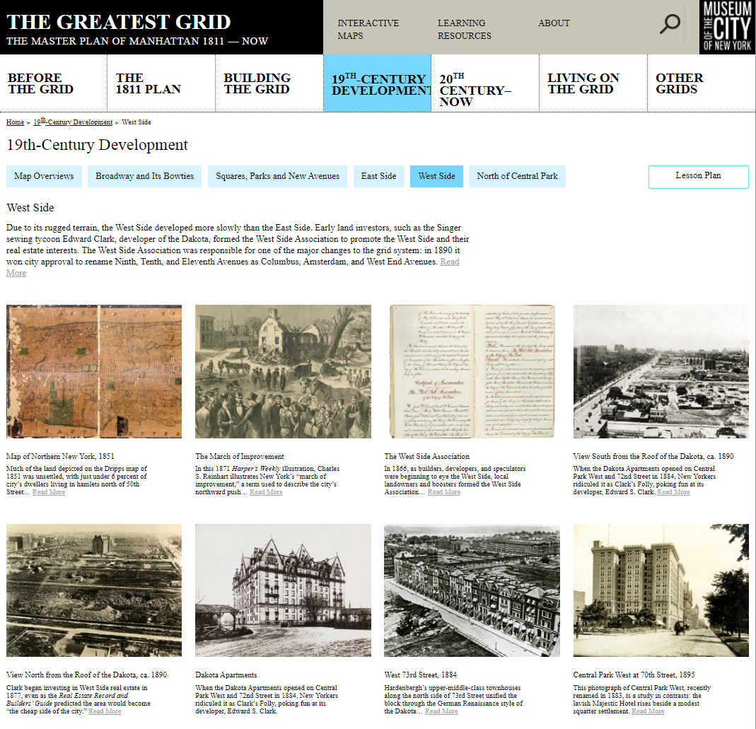
Before the arrival of any European colonists, Manhattan was inhabited by the Lenape Indigenous people. Over time, the Lenape were fully displaced from the island by the increasing European colonists. In 1624, Dutch colonists arrived in what is now downtown Manhattan and established the New Amsterdam colony, which existed until it was replaced by British rule. Further north on the island, however, Manhattan was still characterized by rural countryside, small farms and wealthy country estates. The city of New York developed northward from the southernmost tip, but the Upper West Side remained sparsely developed through the Civil War.
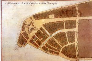
The Castello Plan, a 1660 map of New Amsterdam (the top right corner is roughly north). The fort gave The Battery its name, the large street going from the fort past the wall became Broadway, and the city wall (right) gave Wall Street its name.
Session One Slides
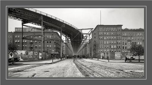
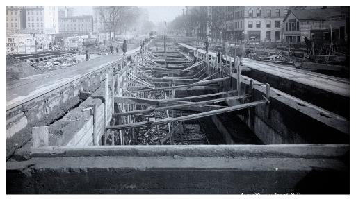
How did the Upper West Side, and the whole of New York City, come to be? Let’s trace the history of the city from before European colonization through World War II, and zoom in on how our neighborhood specifically grew to become a part of New York.
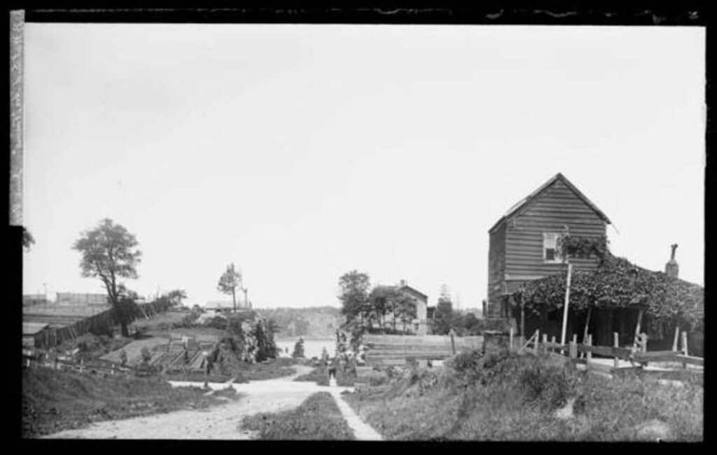
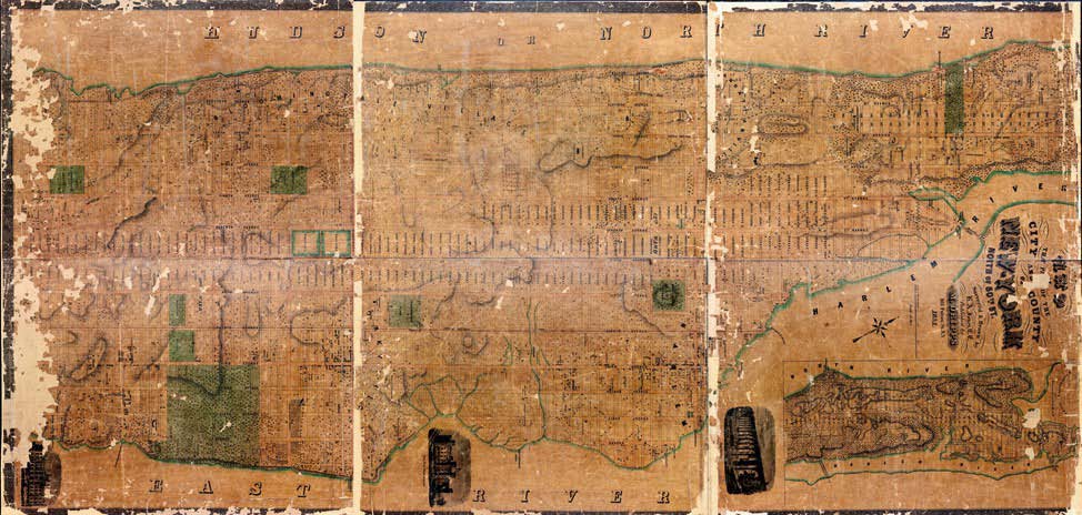
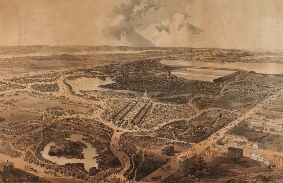
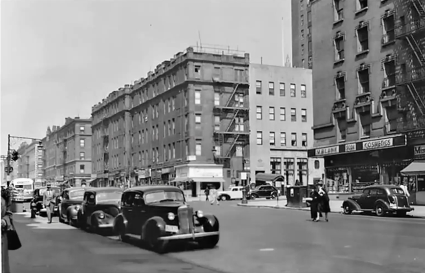
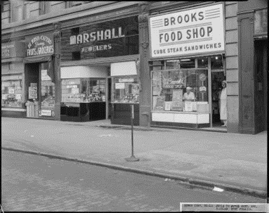
Historic photos and maps are excellent primary sources that can put this history into context for us.
Session Two Slides
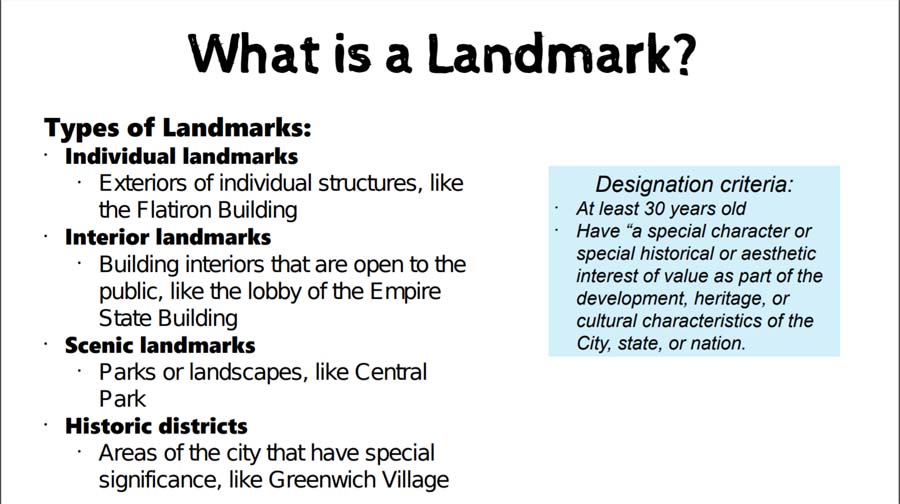
What exactly is historic preservation?
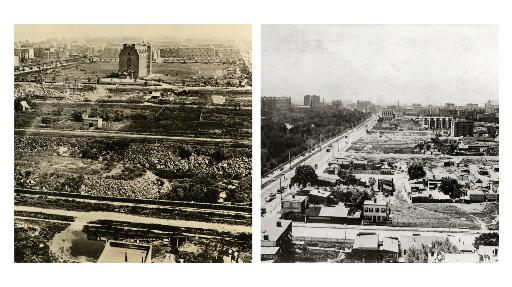
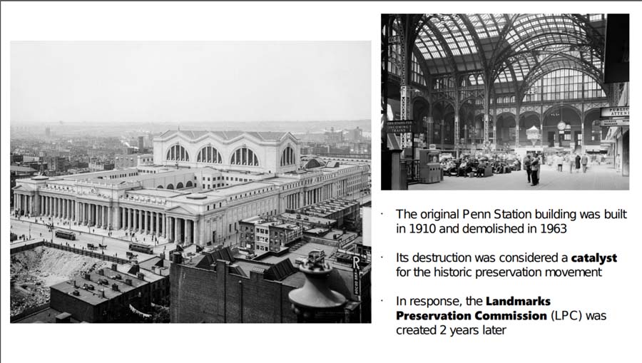
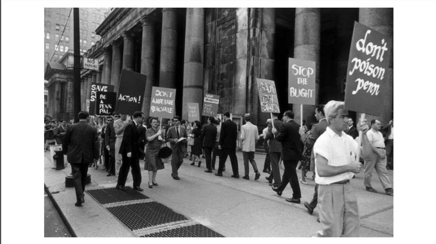
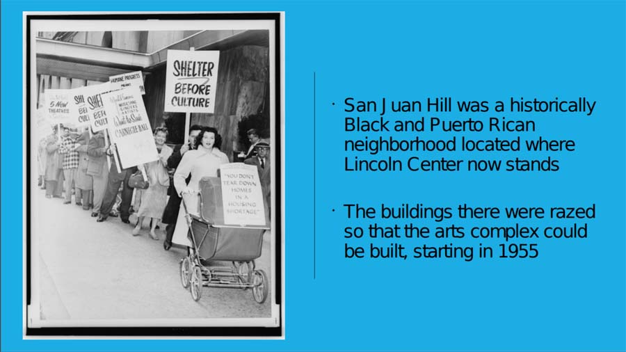
After World War II, development changed in the city. Urban renewal claimed many communities in its push to modernize the city, such as the San Juan Hill neighborhood raized in favor of Lincoln Center.
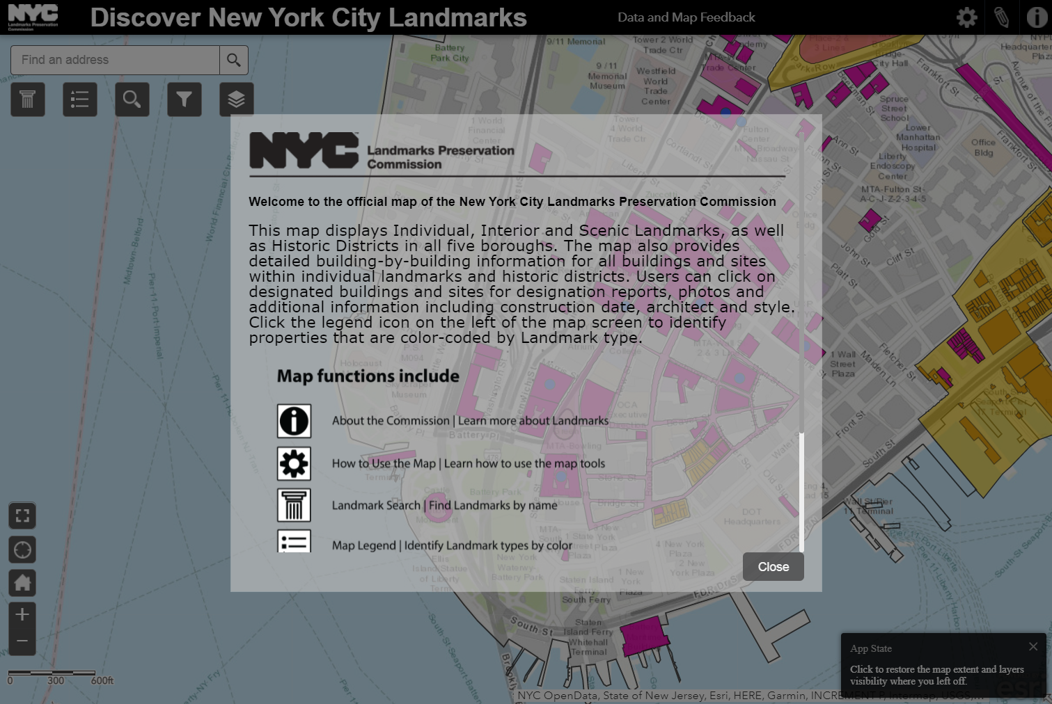
How do cities preserve and remember their histories? Let’s review the types of landmarks we have today, and think about the impacts they have in modern times.
Resources – Urban Preservationists
Architecture


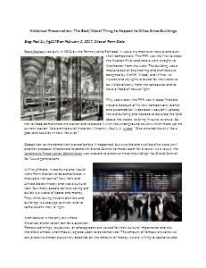
Basics of Historic Preservation


Economics
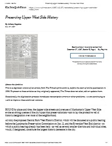
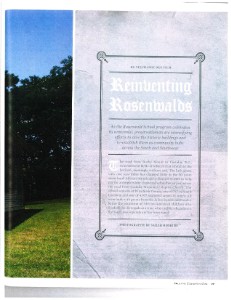
Gentrification, Urban Renewal, and Housing


Heritage
Local History

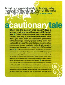
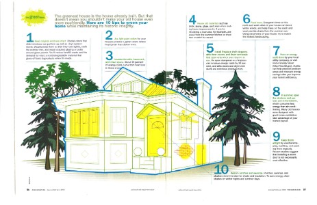
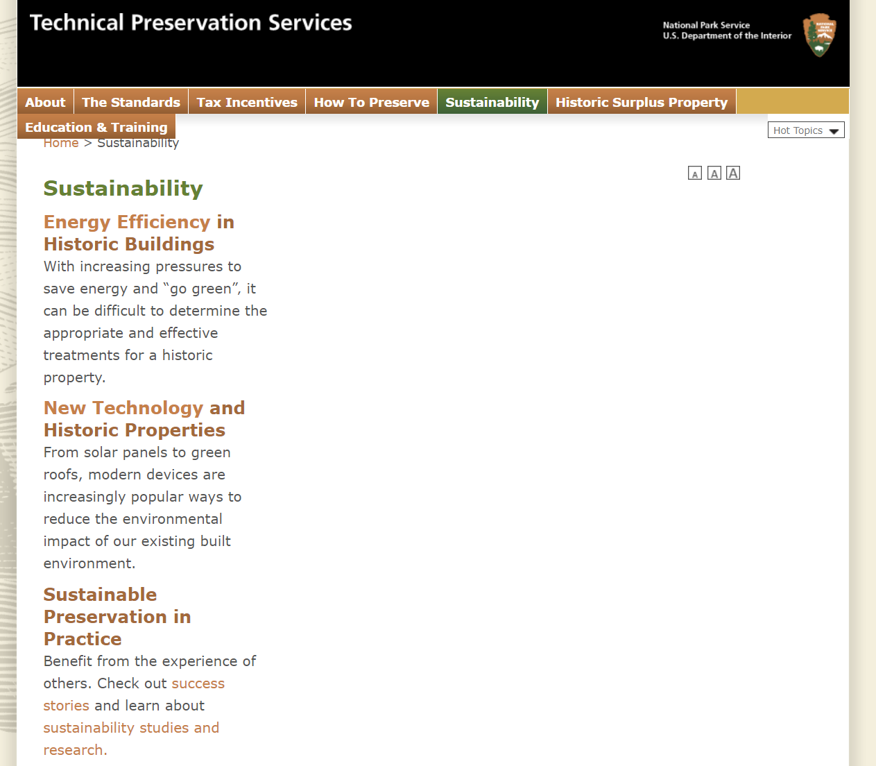
Sustainability

Acknowledgements
KPF is made possible by the contributions of Council Members Helen Rosenthal and Mark Levine, as well as the New York State Council of the Arts (NYSCA) and the Department of Cultural Affairs (DCLA). With their support, Landmark West’s KPF program offers a suite of seven 3-part courses aligned with the NYC Core Curriculum in Upper West Side public schools for free every year.